

Trip Overview
This is a comprehensive trekking itinerary for the classic Annapurna Circuit, extended to include the natural hot springs at Tatopani and the famous sunrise view from Poon Hill. The journey begins with a scenic drive from Kathmandu into the Himalayas, followed by a multi-day trek that circumnavigates the Annapurna Massif. It features incredible diversity, from lowland villages and deep river gorges to the high-altitude, Tibetan-style landscapes of Manang and the sacred site of Muktinath.
The trip concludes with a relaxing soak in natural hot springs, a celebrated sunrise view, and a return to Pokhara, offering a deep immersion into both the natural beauty and rich cultures of the Annapurna region.
The Annapurna Circuit is the most popular trekking route in the great Himalayas.
The circuit consists of various attractions – the highest pass, sacred shrines for both the Hindu and Buddhist followers, high glacial basin, Tilicho, world’s highest glacial lake and Annapurna sanctuary that homes some of the rarest species on earth. It has several different routes within the area that offer varieties of starting points and final destinations as per your liking.
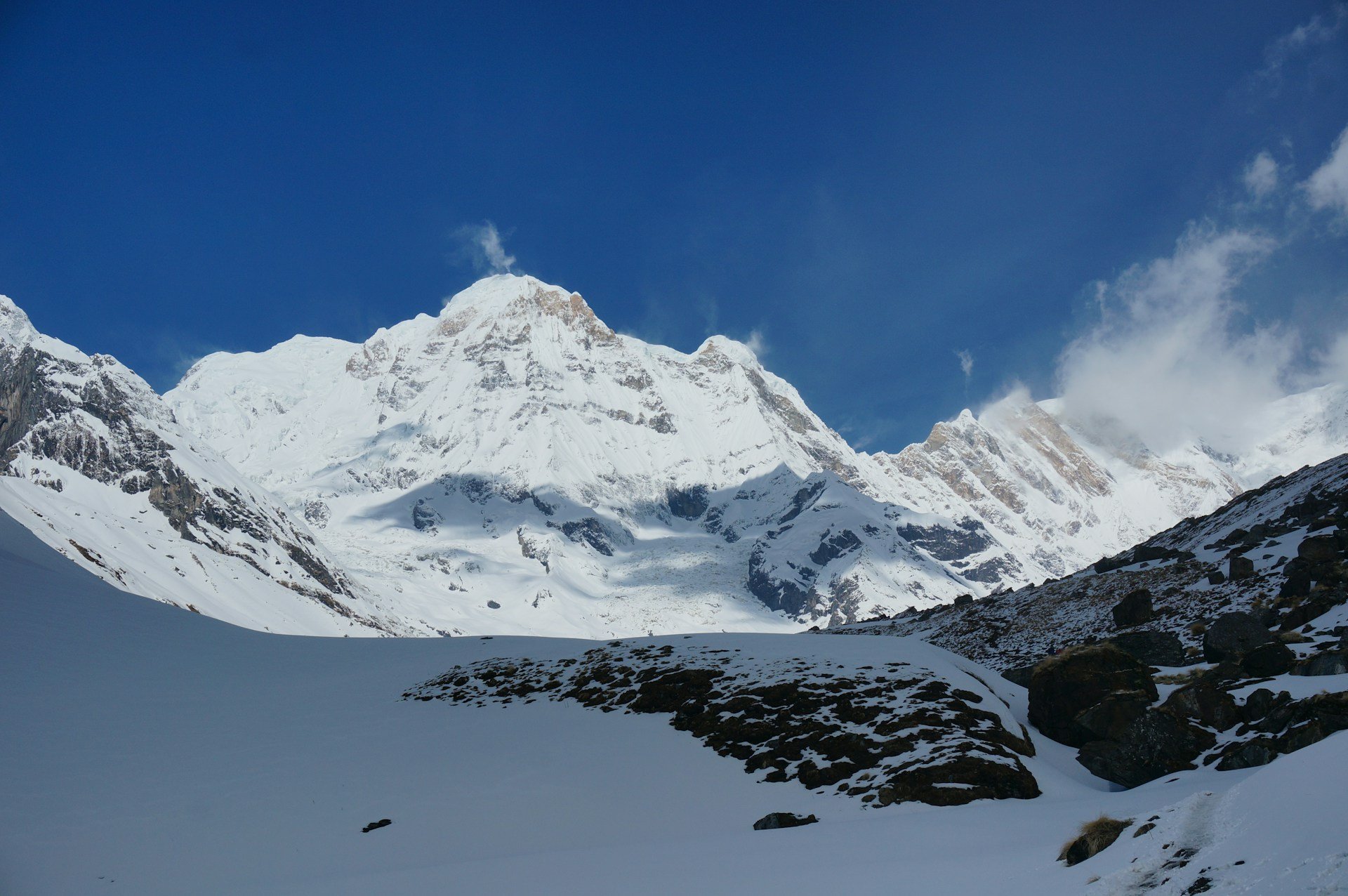
Outline Itinerary
- Day-01: Drive west to Bensisahar 9 hours by bus.
- Day-02: Bensisahar – Ngadi/Bahundanda (1311m) - 6½ hours.
- Day-03: Ngadi/Bahundanda – Jagat/Chamje (1433m) - 6½ hours.
- Day-04: Jagat/Chamje - Dharapani (1943m) - 6 hours.
- Day-05: Dharapani - Chame (2713m) - 6½ hours.
- Day-06: Chame - Pisang (3292m)- 5 hours.
- Day-07: Pisang - Manang (3351m) - 4 hours.
- Day-08: Rest in Manang, visit Monastery, Khangsar village & acclimatization for high altitude.
- Day-09: Manang - Yak Kharka/ Lather (4000m) - 5 hours.
- Day-10: Lather - Thorongphedi (4510m) - 3 hours, spend whole day for the rest.
- Day-11: Thorong Phedi - Thorong-La pass (5,416m) - Muktinath (3800m)- 9 hours.
- Day-12: Muktinath - Kagbeni (2800m) 4 hours down and spend night.
- Day-13: Kagbeni - Jomsom (2726m) - 4 hours.
- Day-14: Jomsom – Tatopani Local Bus/Jeep drive.
- Day-15: Tatopani – Ghorepani takes 6 hours hike.
- Day-16: Early in the Morning hike up to Poon Hill (3200.) to see wonderful Annapurna, Dhaulagiri and West parts of Himalayan ranges with wonderful sunrise.
- Day-17: Crews leave to their destination and say good bye.
This is the prime and most popular season for the Annapurna Circuit.
Weather: Days are typically clear, sunny, and stable with excellent visibility. Skies are incredibly blue, offering breathtaking, unobstructed mountain views.
Temperatures: Daytime temperatures at lower elevations are very pleasant for trekking. Nights are cold, especially at high altitudes, but manageable with proper gear.
Pros: The air is fresh after the monsoon, the trails are dry, and the risk of flight or road cancellations is low. This is also the time for major Nepalese festivals like Dashain and Tihar, adding a cultural bonus.
Cons: This is the peak season, so the trails, teahouses, and airports (Lukla, for flights) can be quite busy.
This is another excellent choice, known for beautiful flora.
Weather: Generally stable with warm days. Visibility is good, though there can be more haze building up towards May as the monsoon approaches.
Temperatures: Warmer than in autumn, making it very comfortable for trekking at all altitudes.
Pros: The rhododendron forests throughout the region burst into magnificent bloom, painting the hillsides in shades of red, pink, and white. The days are longer.
Cons: It can be hazier than autumn, and there is a higher chance of afternoon showers as you move into May.
Winter (December to February): Possible but challenging. Days can be clear and sunny, but temperatures at high altitude (especially Thorong La Pass) are extremely cold and can be dangerous. Many high passes, including Thorong La, can be closed due to heavy snow and avalanche risk. Teahouses at higher elevations may be closed.
Monsoon (June to September): Not recommended. Heavy rainfall leads to muddy, leech-infested trails, landslides that can block roads and paths, and consistently poor visibility with clouds obscuring the mountain views. Flight delays and cancellations are very common.
This is a strenuous trek that involves 15-17 days of walking, significant daily elevation gain and loss, and crossing the challenging Thorong La Pass at 5,416m (17,769ft). You should be in excellent physical condition, with a focus on cardiovascular endurance (running, cycling, swimming) and leg strength (hiking, squats, lunges).
Altitude Sickness (AMS) is a serious and unpredictable risk. This itinerary includes crucial acclimatization days (e.g., in Manang) – never skip these. Learn the symptoms (headache, nausea, dizziness), be honest with your guide, and be prepared to descend if symptoms worsen. Rushing increases the danger significantly.
You will experience a huge range of climates, from hot lowlands to a freezing, windy mountain pass.
The Golden Rule: Layering. Pack moisture-wicking base layers, insulating mid-layers (fleece/down), and a waterproof/windproof outer shell.
Footwear: Well-broken-in, waterproof hiking boots are absolutely essential. Also bring comfortable shoes/sandals for evenings.
Must-Haves: A high-quality sleeping bag (rated for -10°C / 14°F), a warm hat, gloves, sunglasses, a headlamp, a refillable water bottle or hydration bladder, and a comprehensive first-aid kit.
You will be staying in local lodges called teahouses.
Accommodation: Basic but sufficient; usually a private room with a simple bed and shared bathroom facilities. Hot showers are available for an extra cost, but may not be reliable at higher altitudes.
Food: Meals are taken in a common dining hall. The menu is extensive (dal bhat, pasta, pizza, soups) but become more basic and expensive as you gain altitude. Stick to vegetarian options at higher elevations for food safety.
Guides and Porters: While independent trekking is possible, a guide is highly recommended for navigation, safety, and cultural insight. A porter will carry your main bag, vastly improving your experience. Budget to tip your crew at the end of the trek; it is a standard and expected part of their income.
Permits: You will need the Annapurna Conservation Area Permit (ACAP) and the Trekker's Information Management System (TIMS) card. Your trekking agency will typically handle these, but you must provide passport photos and details.
Water: Do not drink tap water. You can buy bottled water (expensive and plastic waste) or use a much better alternative: water purification tablets or a portable water filter (e.g., Lifestraw or Steripen) to refill from safe sources.
Hygiene: Toilet paper is not flushed; it goes in a waste bin next to the toilet. Hand sanitizer and wet wipes will be your best friends. Bring your own toilet paper.


